If you’ve ever wondered how to find precise locations using GPS coordinates on Google Maps, you’re in the right place. In this article, we’ll explain how to do this task easily and also teach you how to leverage Plus Codes to identify places on the map. Let’s get into it.
What are GPS coordinates?
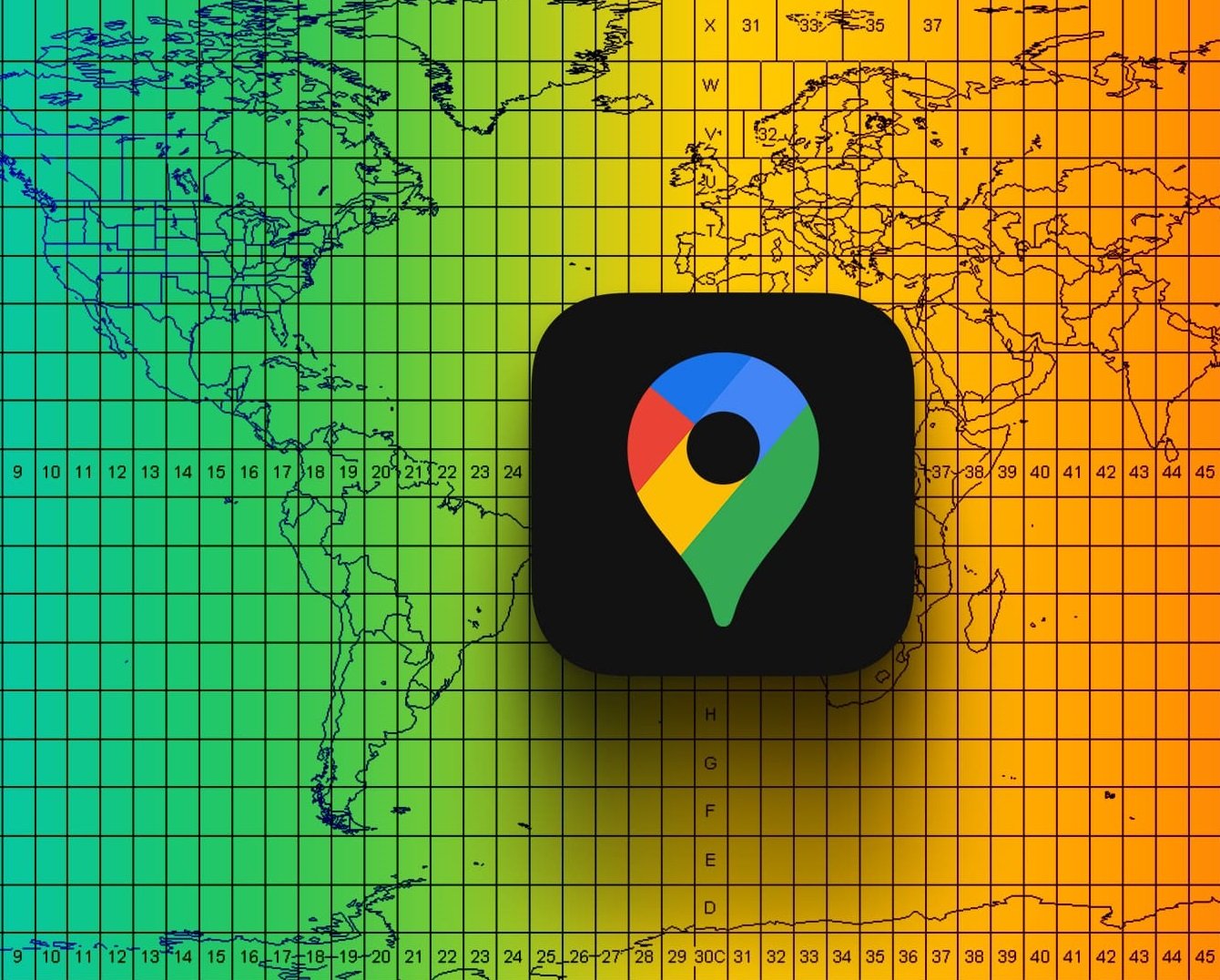
GPS coordinates are a series of numbers representing precise locations using specific values, such as the latitude and longitude of a point on Earth. These ways of signifying a position are crucial for identifying specific places accurately on the map.
- Latitude is measured in degrees and indicates the distance north or south of the equator. Values range from -90º (south) to +90º (north), with the equator located at 0º.
- Longitude measures the distance west or east of the Greenwich meridian, also in degrees. Values will range from -180º (west) to +180º (east), with the prime meridian located at 0º.
Why input GPS coordinates in Google Maps?
Precision is one of the main reasons to use GPS coordinates in Google Maps. In critical situations, such as emergencies or travels to remote locations, these numerical codes will help you find your destination without issues. They can also be useful when exploring areas without formal addresses.
Together, latitude and longitude provide a unique location on the earth’s surface, allowing you to input them into Google Maps to find specific places quickly. This is beneficial in situations where conventional addresses are not very precise, or when you need to identify the exact location.
In summary, geographic coordinates can be very useful in moments where addresses are inaccurate or insufficient.
What are plus codes?
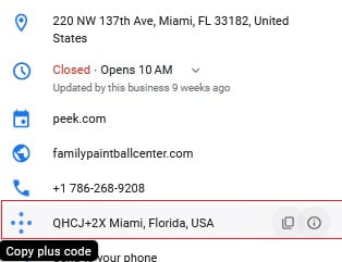
Plus Codes are an innovative way to represent locations on the map without the need for complex coordinates. These alphanumeric codes are easier to share and understand. Google Maps assigns a Plus Code to every location on earth, making it easy to identify places.
Moreover, a Plus Code consists of a series of characters that can be input into the Google Maps application to find nearby locations accurately.
How to search and input GPS coordinates in Google Maps:
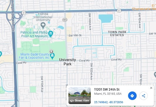
To explore coordinates for a specific location, follow these steps:
- Open Google Maps and go to the website from your browser.
- Search for the location for which you want to obtain coordinates. You can enter an address or a place in the search box (located at the top of the screen).
- Once you find the location on the map, tap the specific marker for the place – you’ll need to long-press on an unlabeled area. This will display additional information about the site.
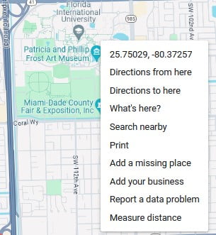
- In the details about the place, you can access the latitude and longitude coordinates. You can click on them, copy them, and use them as needed.
After marking the location, there are other ways to search for coordinates: slide the menu from the bottom of your screen (the same numbers will appear). Alternatively, if you’re using the browser, click on some area on the map that is not labeled (a window with the coordinate numbers will appear). To share the location, copy the code by clicking on the plus code.
To input GPS coordinates in Google Maps and Plus Codes, follow these simple steps:
- Open the Google Maps app on your device.
- In the search bar, enter the geographical coordinates you want to find. For example, “40.7128° N, 74.0060° W.”
- Press “enter” and Google Maps will take you directly to the corresponding location.
- This method is useful for finding precise locations, for example, in rural areas, either for navigation or simply exploring specific areas.
Finally, use these tools with confidence and enjoy a more precise and effective navigation experience. Remember that accuracy in searching GPS coordinates on Google Maps is essential, and using Plus Codes can make this task even more convenient. Take advantage of these tools and explore the world with confidence.

